Premium Spotlight$10.00 USDGuide
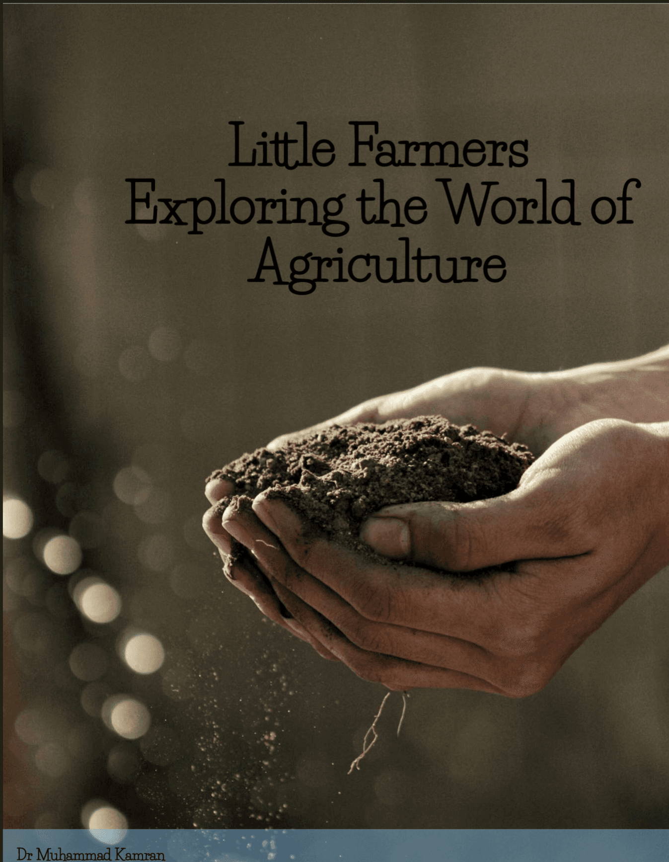
Little Farmers: Exploring the World of Agriculture
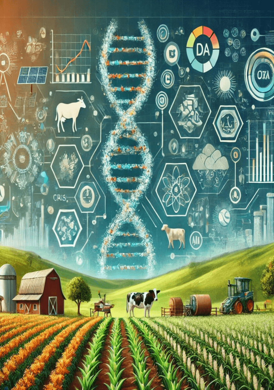
Discover where food comes from and inspire the next generation of little farmers. Little Farmers: Exploring the World of Agriculture is an engaging introduction to farming, food, animals, nature, and the people who help feed our communities. Written especially for young learners, this educational book explains agriculture in clear, friendly language while encouraging curiosity, responsibility, kindness, and respect for the environment. Young readers will explore the daily life of a farmer, learn how plants grow, meet common farm animals, discover essential farming tools, and follow the fascinating journey of food from the farm to the table. They will also learn how farming changes through the seasons and how modern innovations including hydroponics, vertical farming, sensors, drones, and robots are shaping the farms of the future. The book also encourages hands-on learning through gardening ideas, farm-themed games, creative crafts, environmental activities, and practical guidance for starting a small garden at home even on a balcony or windowsill. Perfect for curious children, families, teachers, homeschoolers, and anyone introducing young minds to agriculture, this book helps readers understand that farming is not only about growing food, it is about caring for animals, protecting nature, working together, and building a healthier future. Inside, readers will discover: How crops are planted, cared for, and harvested The differences between crop, animal, and mixed farming How farmers care for cows, chickens, pigs, sheep, and goats The tools and technology used on modern farms How food travels from farms to shops and family tables Farming activities, crafts, gardening projects, and farm visit ideas Simple ways children can care for the environment How every child can begin their own journey as a young farmer Plant the seed of curiosity today and let your young reader explore the wonderful world of agriculture.
10downloads
25pages